- Last Update17-Aug-2026


- Tweet
-
Amman road density data improves Jordan's prosperity ranking — GAM
The Jordan Times
AMMAN — The Greater Amman Municipality (GAM) has completed calculating the lengths of roads within the boundaries of the capital as part of national efforts to enhance Jordan's position in the Legatum Prosperity Index.
Amman's road density stood at 8.2 kilometres of road per square kilometre of the city's area in 2025, while the total length of paved roads reached 6,522 kilometres across an area of 800 square kilometres, Al Mamlaka TV reported.
GAM said that its roads directorate formed specialised committees and held intensive workshops in cooperation with the Ministry of Planning and International Cooperation and relevant authorities.
It also provided the Department of Statistics with accurate data on road lengths within the capital, which was included in a comprehensive aggregate table prepared in coordination with the Ministry of Public Works and Housing and the Ministry of Local Administration.
The data will be used to calculate the road density indicator according to the approved international methodology and include it in the Kingdom's annual statistical yearbook.
The municipality said that the achievement reflects its commitment to supporting government efforts to develop infrastructure and enhance the quality of national data, contributing to improving Jordan's international image and competitiveness in global indicators.
GAM noted that these efforts helped improve Jordan's ranking in the global Legatum Prosperity Index by improving Amman's road density indicator.
The municipality has sought to organise the city under a long-term growth plan, most recently the Amman Growth Plan 2025, and translated it into urban planning measures while improving and expanding road networks through projects implemented under its 2022-2026 strategic plan.
GAM has also documented and updated the networks on its Geographic Information System (GIS).
The municipality provided accurate data for calculating the indicator.
The road density indicator is an engineering and economic measure of the availability and extent of a road network within a given geographic area.
It is generally calculated by dividing the total length of roads by the area's size or population to assess the efficiency of infrastructure in cities and urban areas.
Road density is one of the indicators used to measure the prosperity of cities under the global Legatum Prosperity Index.
Latest News
-
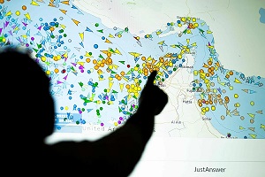 Iran fires back at Trump's threat to declare Hormuz a US territory
-
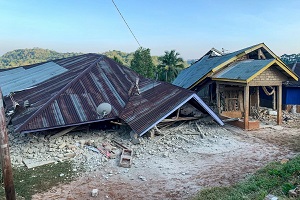 Powerful quake off Indonesia kills 20, sparks mass evacuations
-
 Trump Says Will 'Soon' Declare Hormuz Strait US Territory
-
 Jordan condemns Iranian attack on UAE tankers in Strait of Hormuz
-
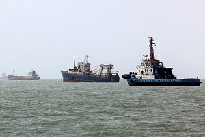 Iran says it manages Strait of Hormuz after Trump claims US control